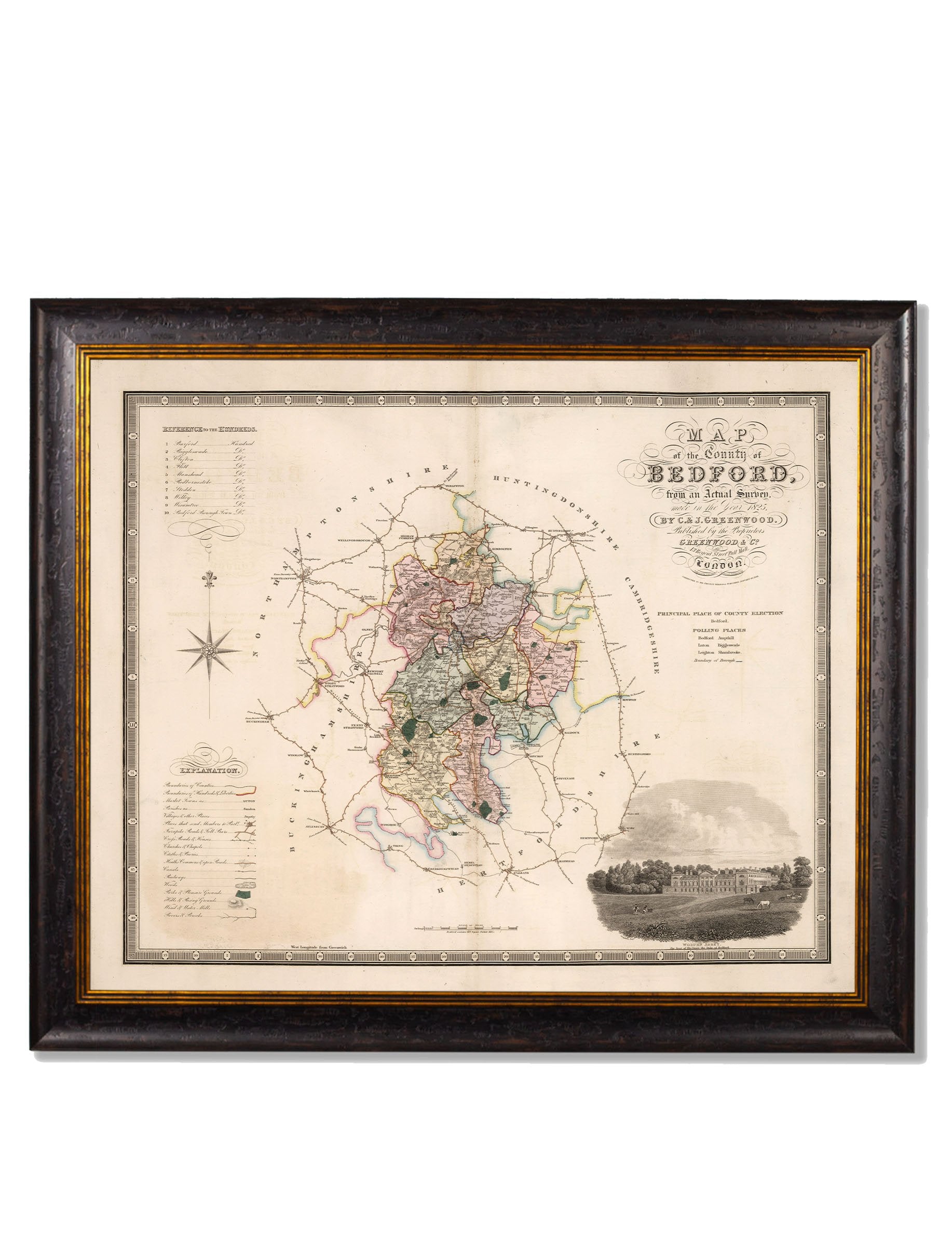
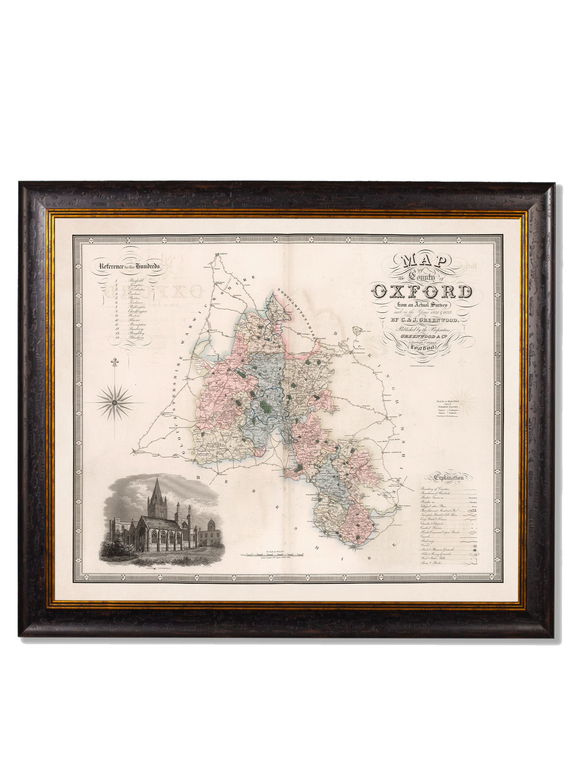
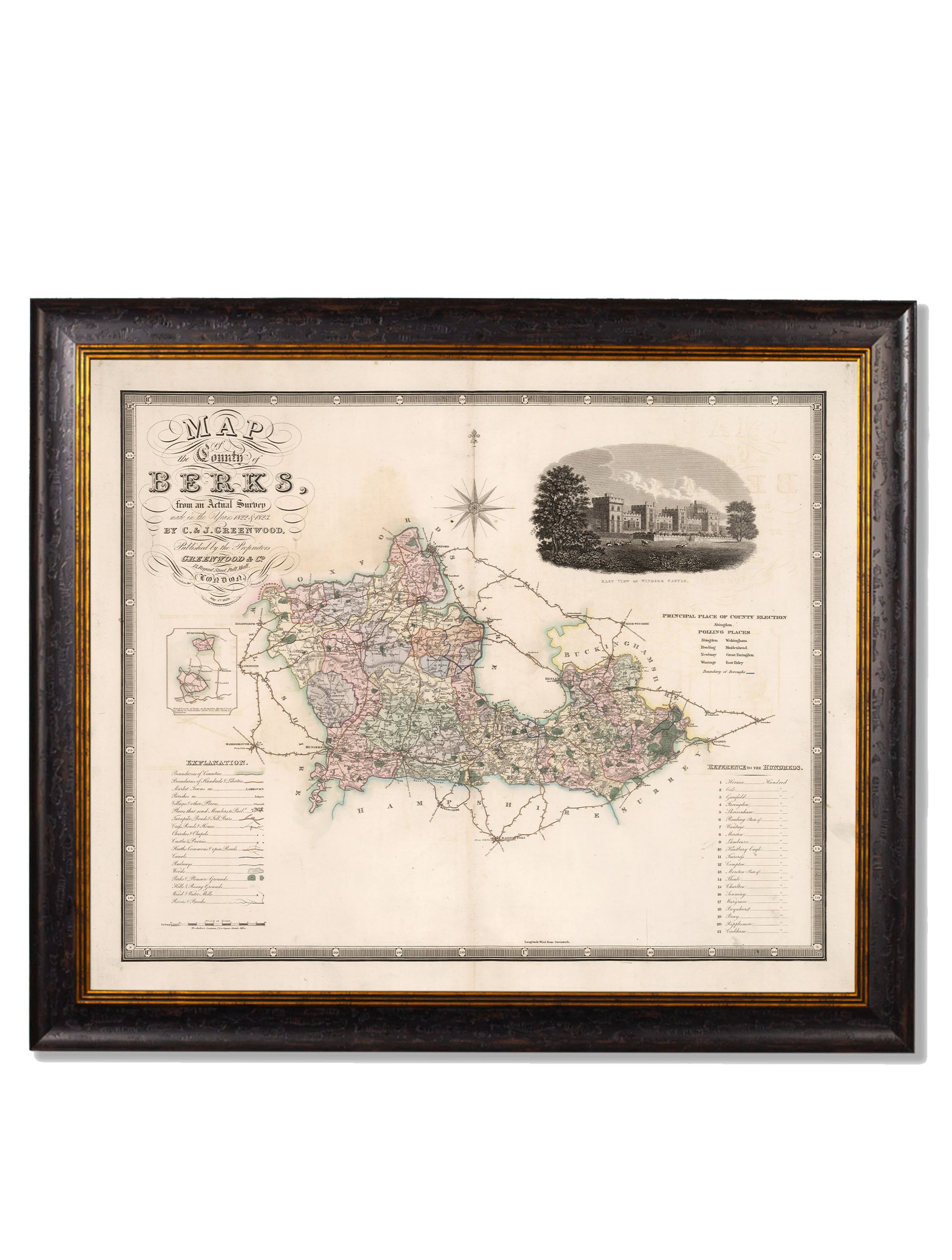
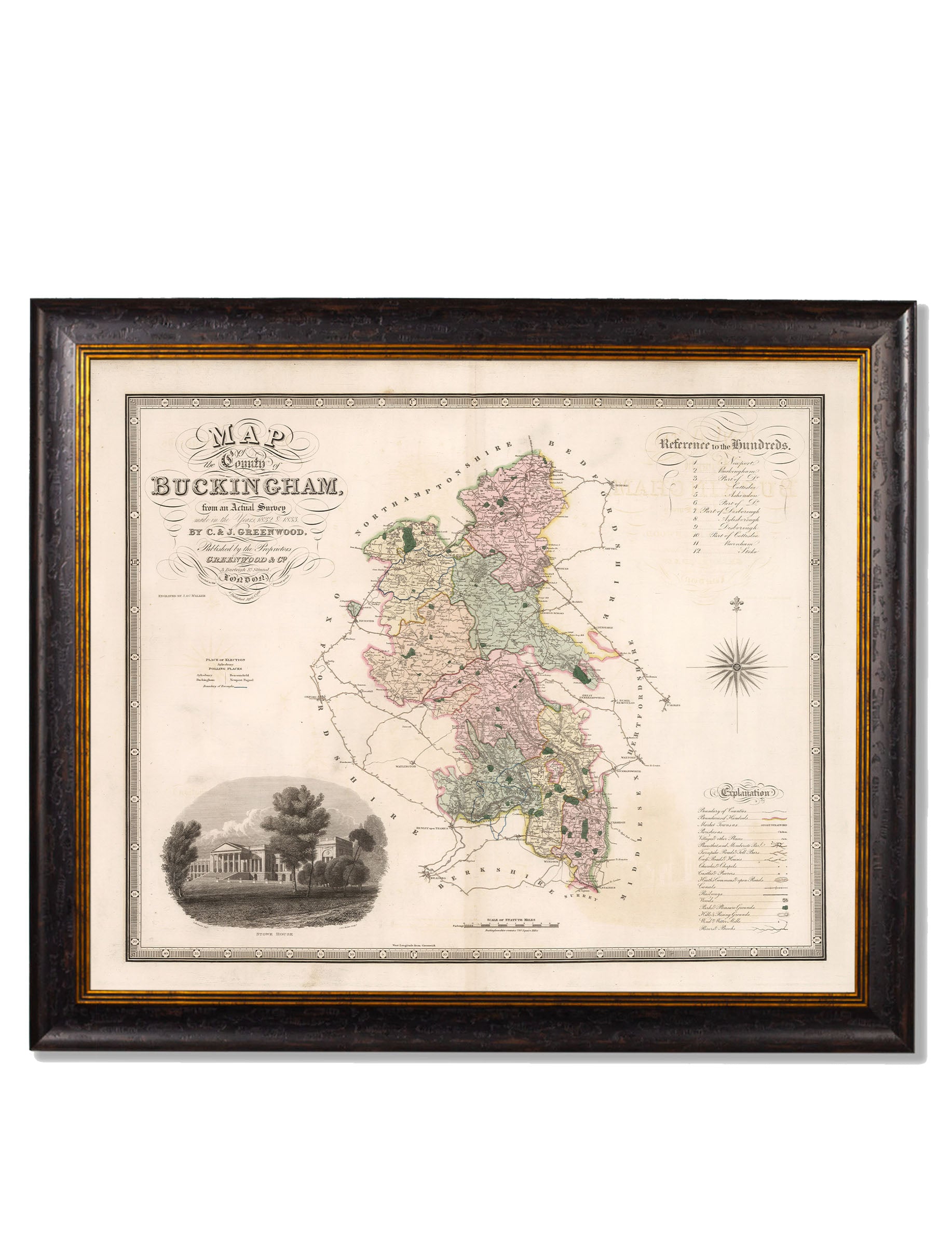
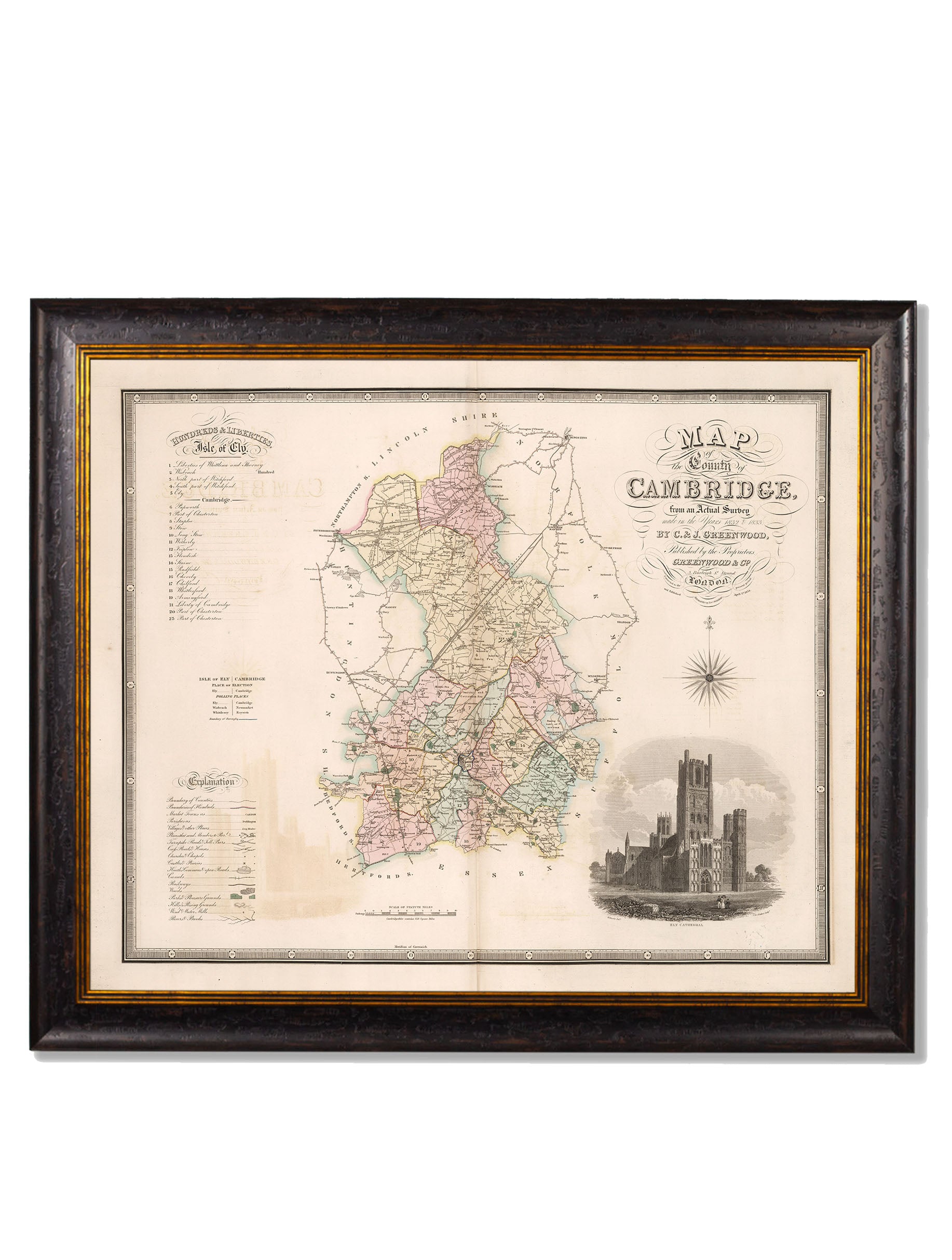
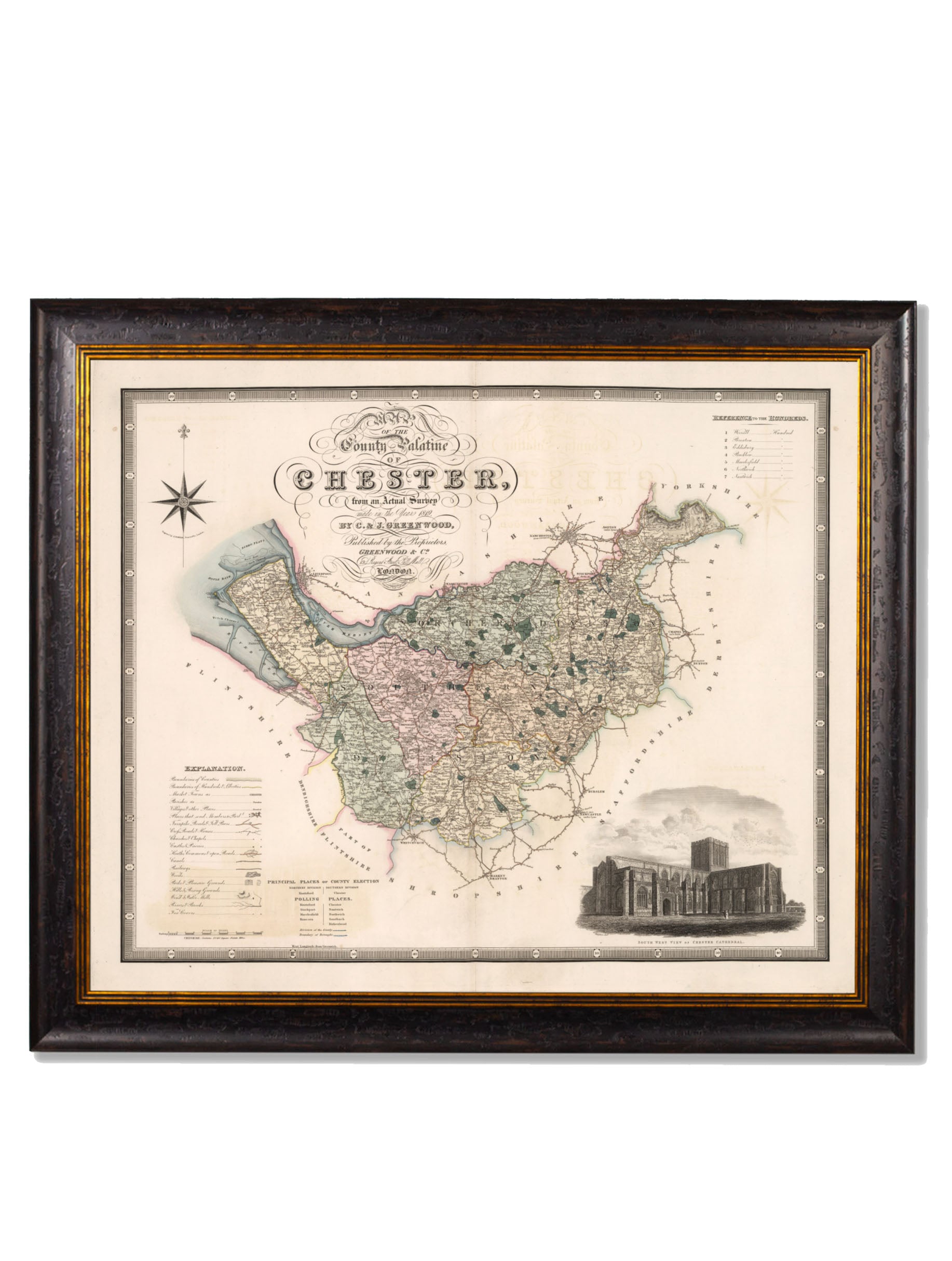

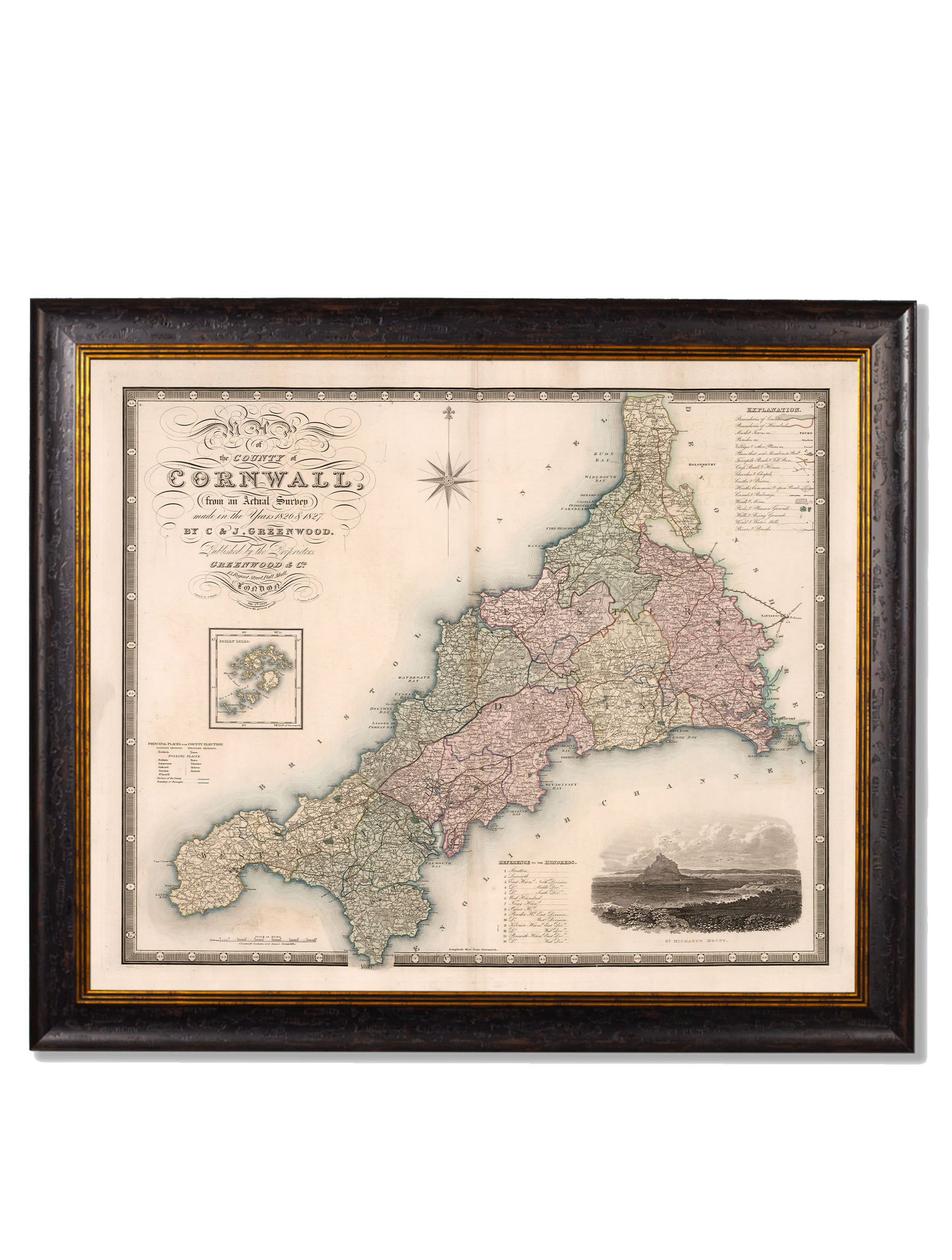
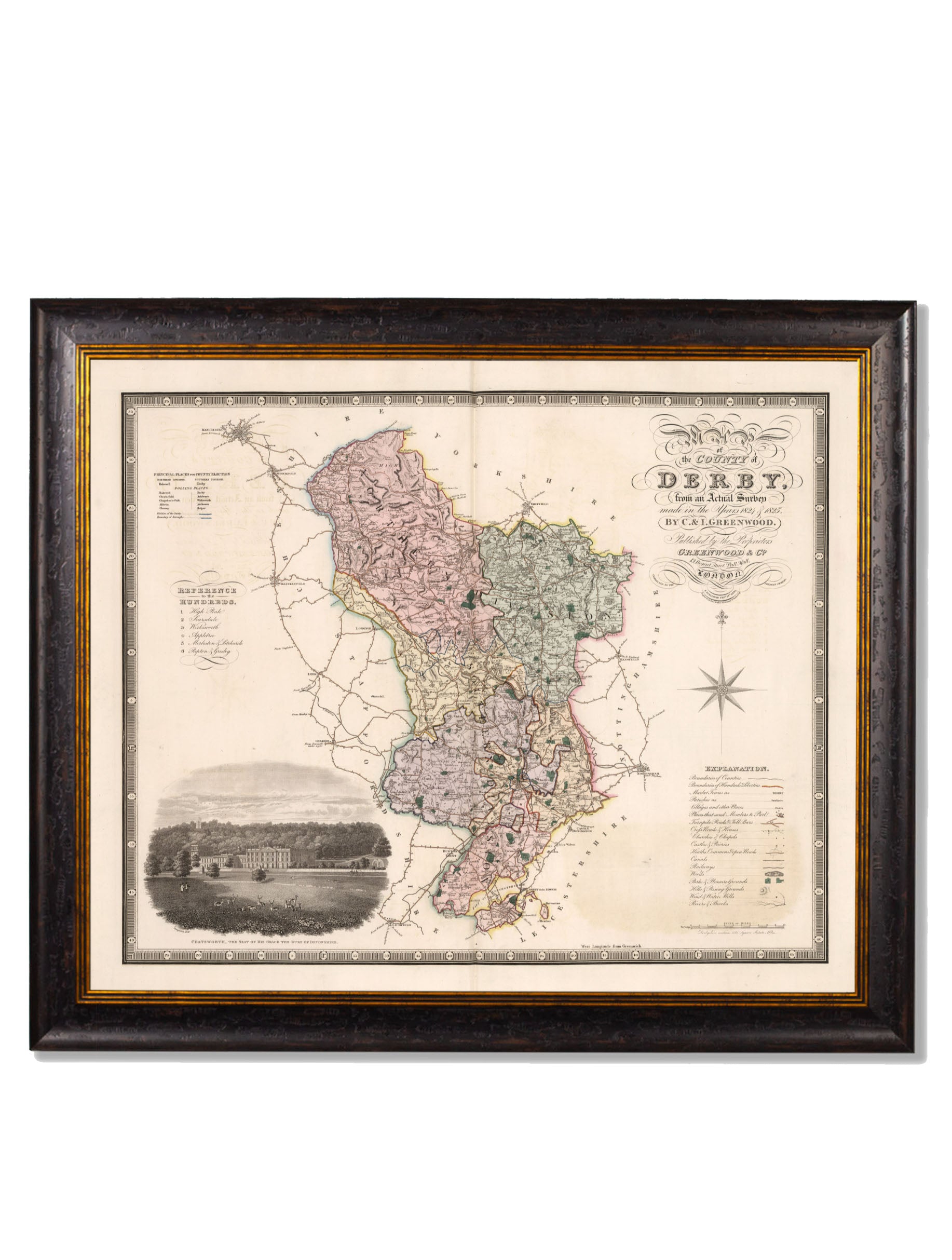
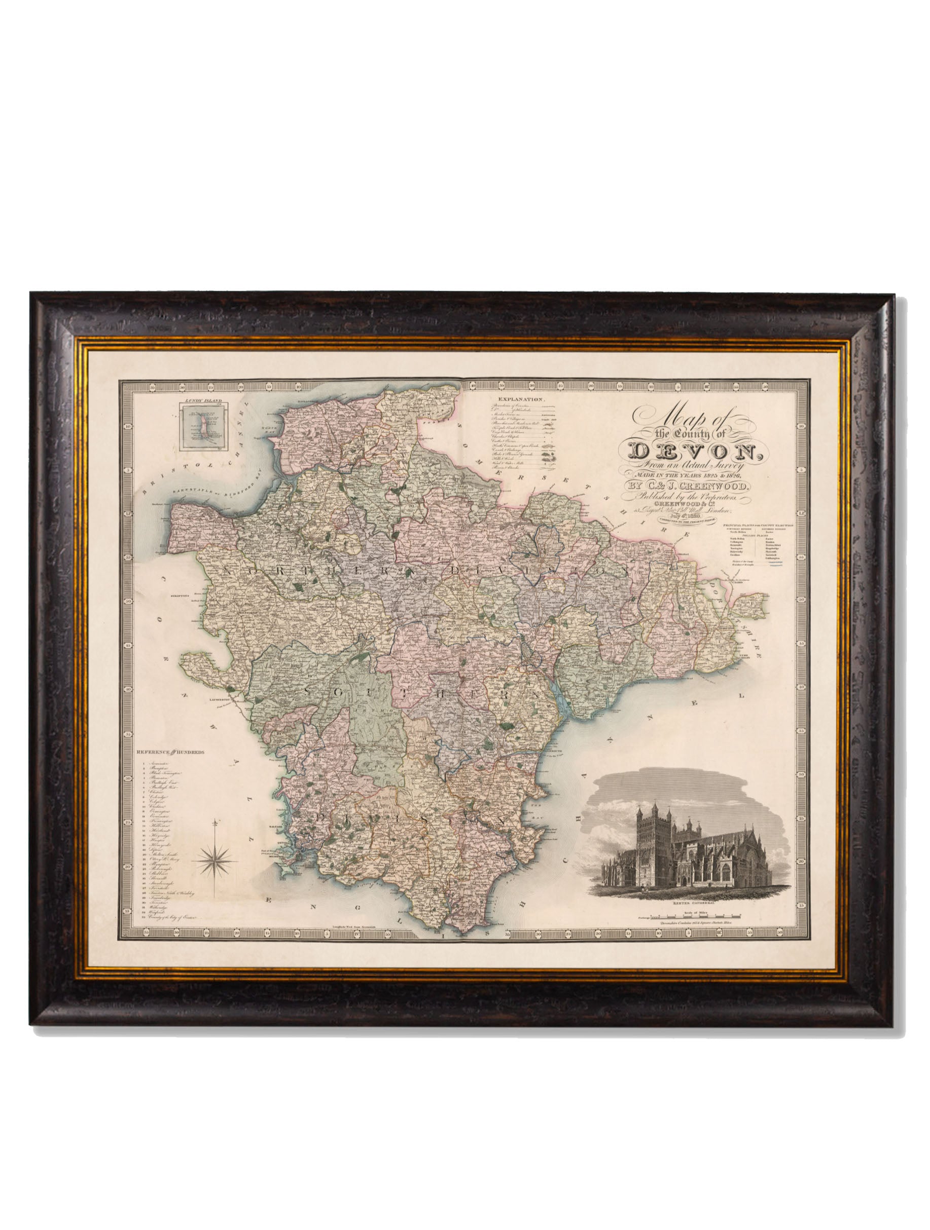

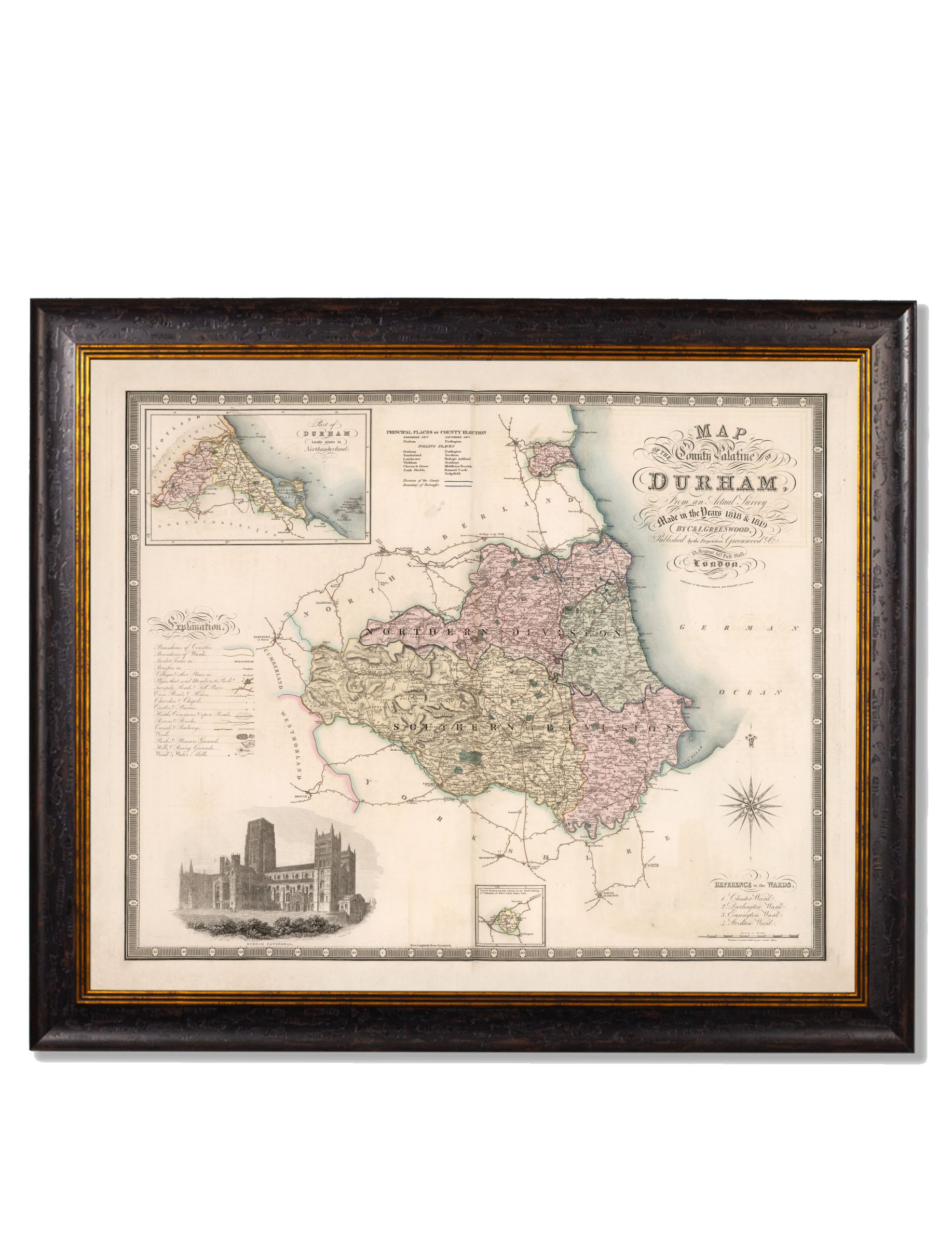

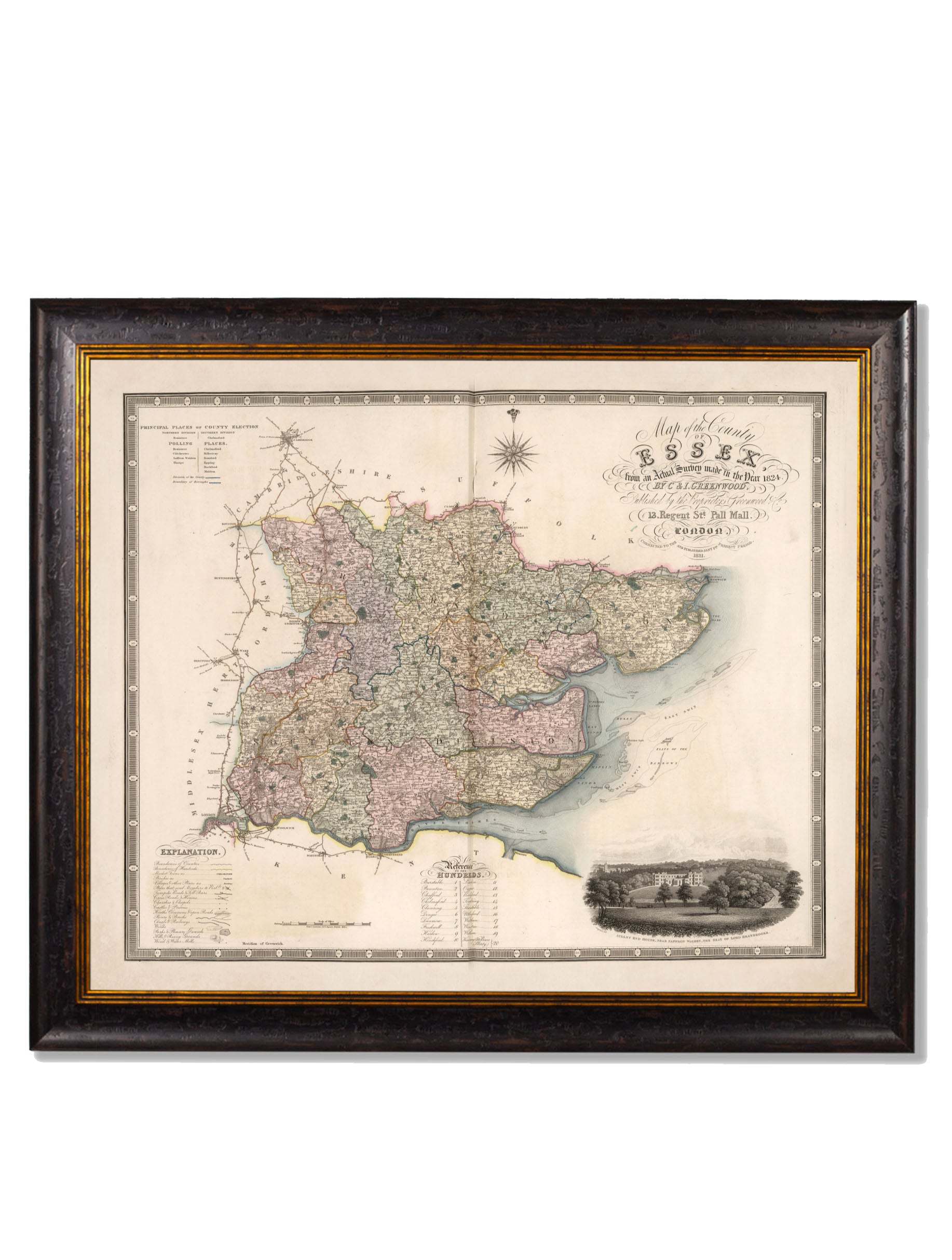
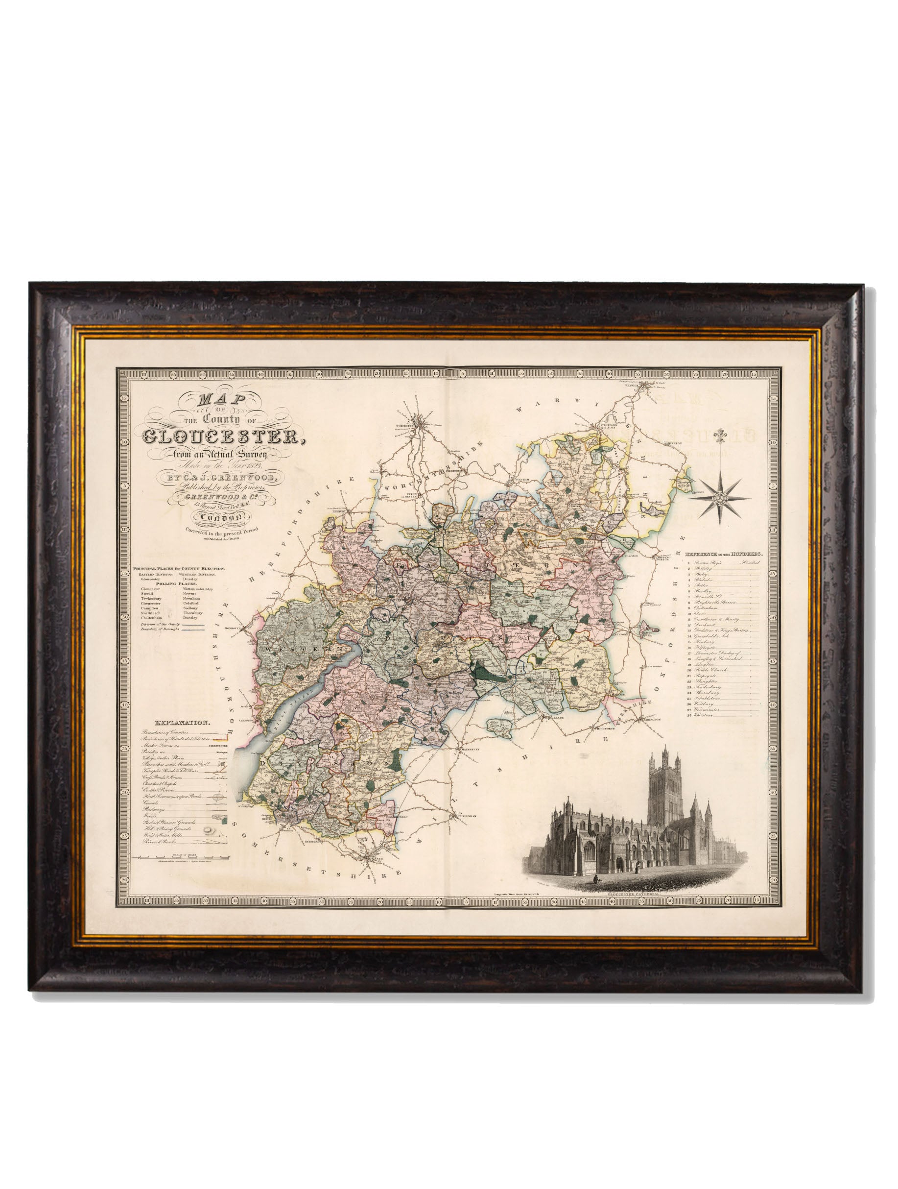
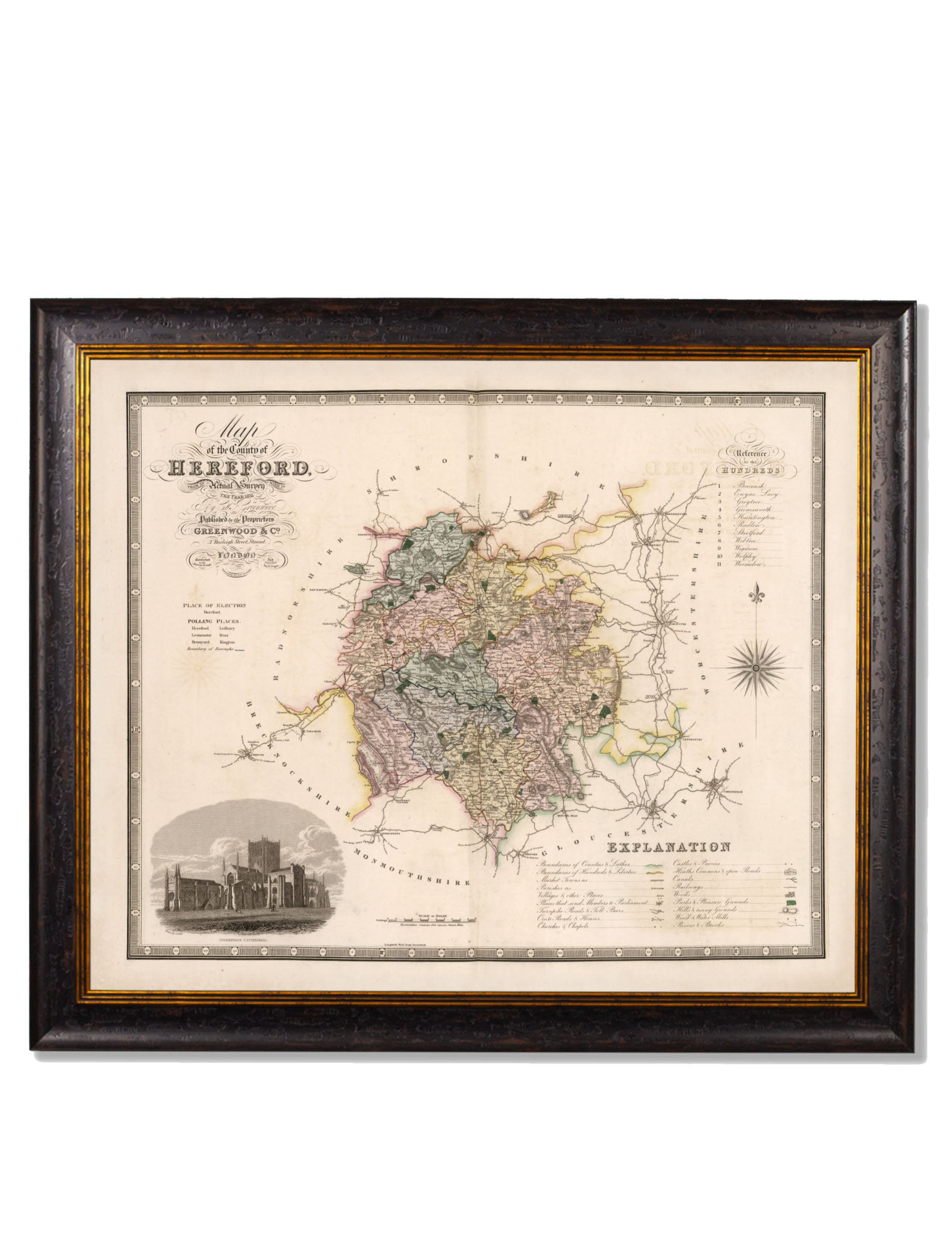
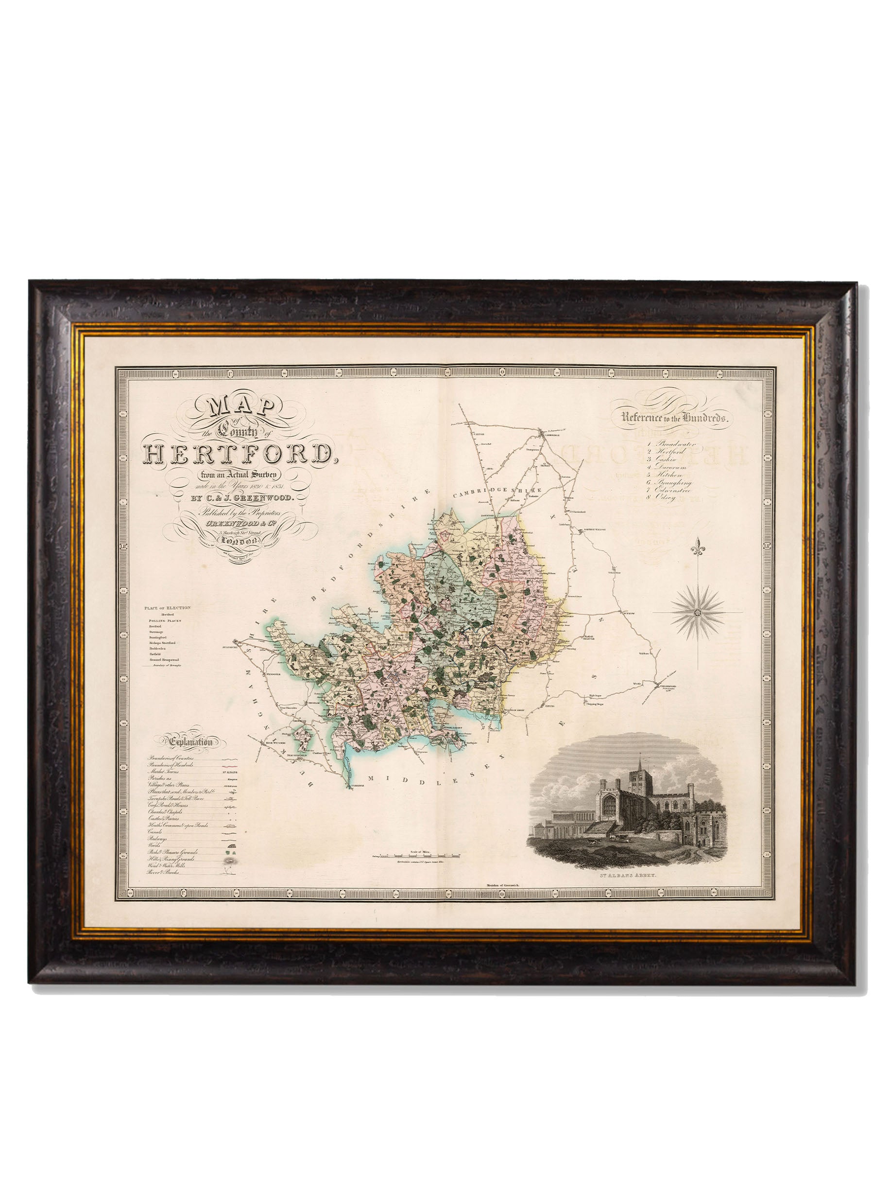
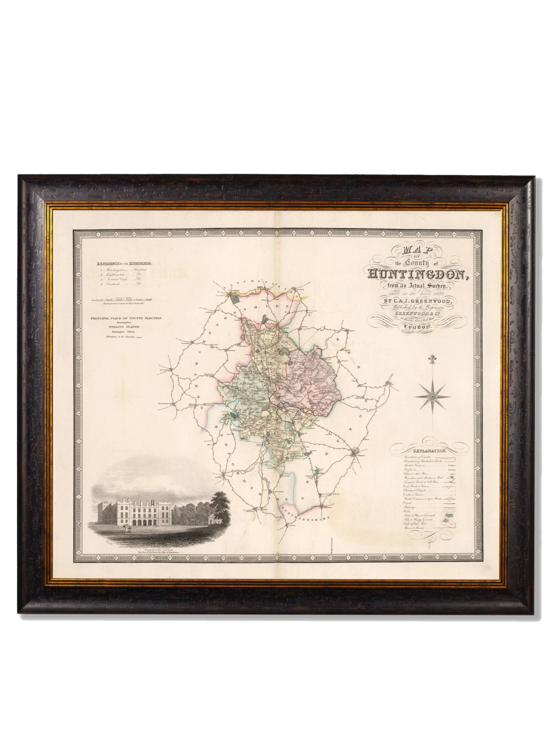
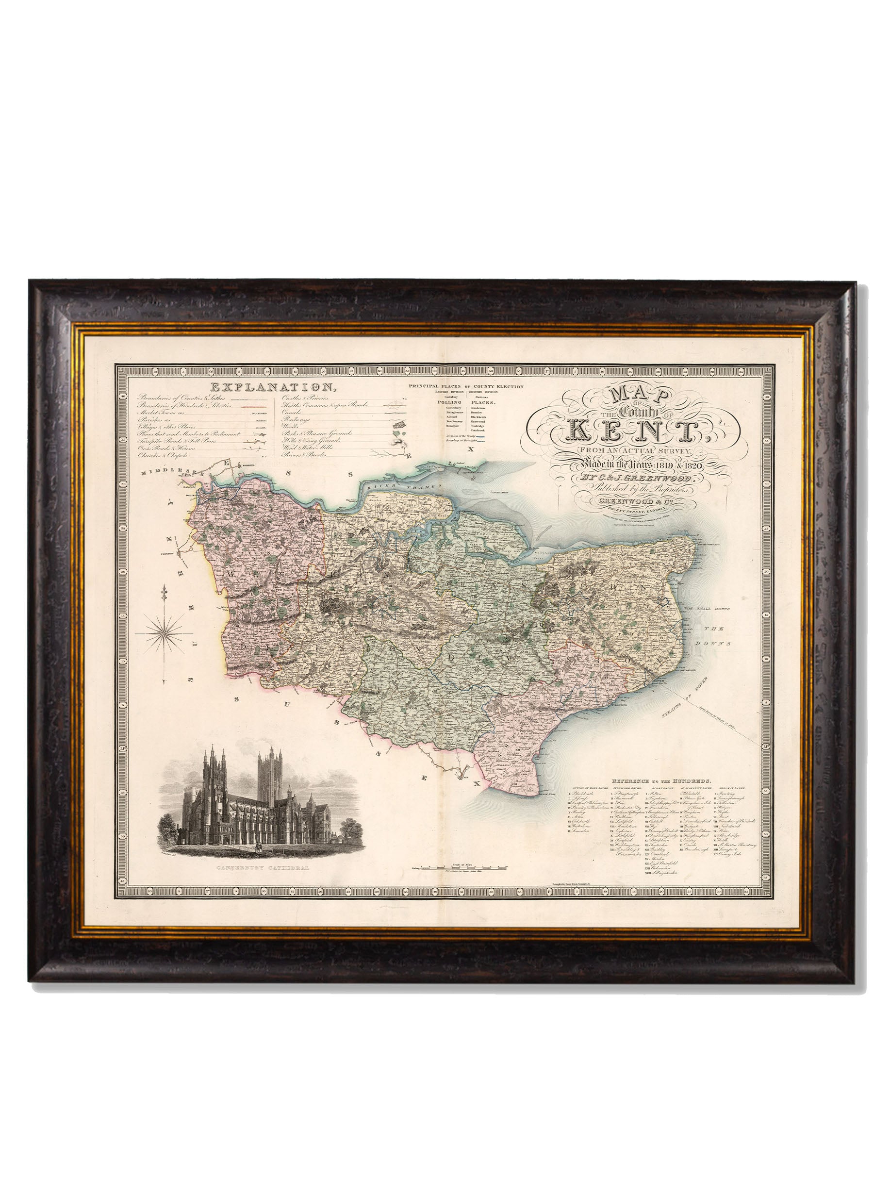
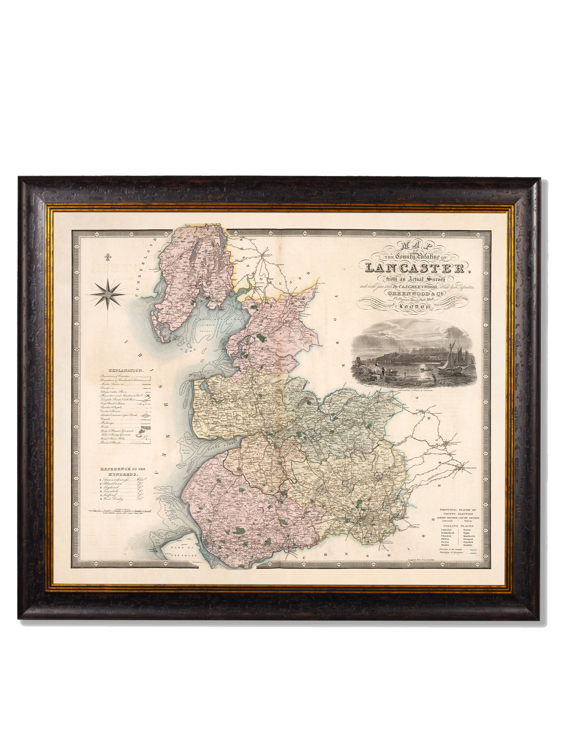
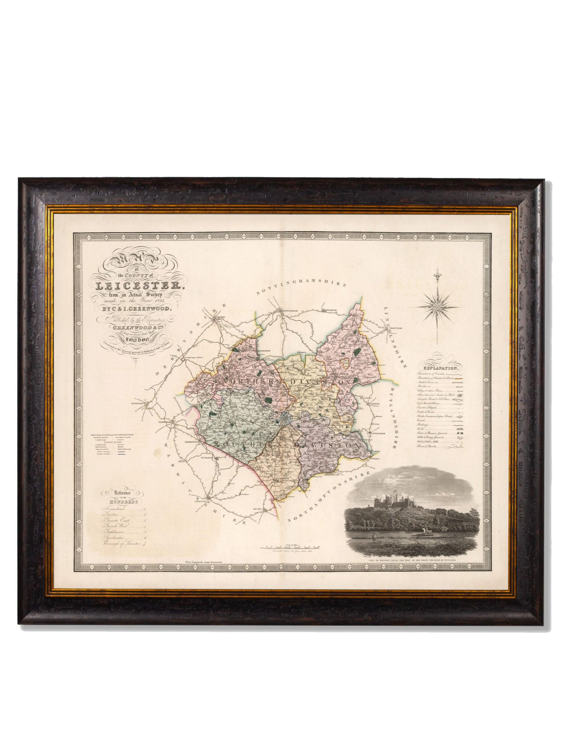
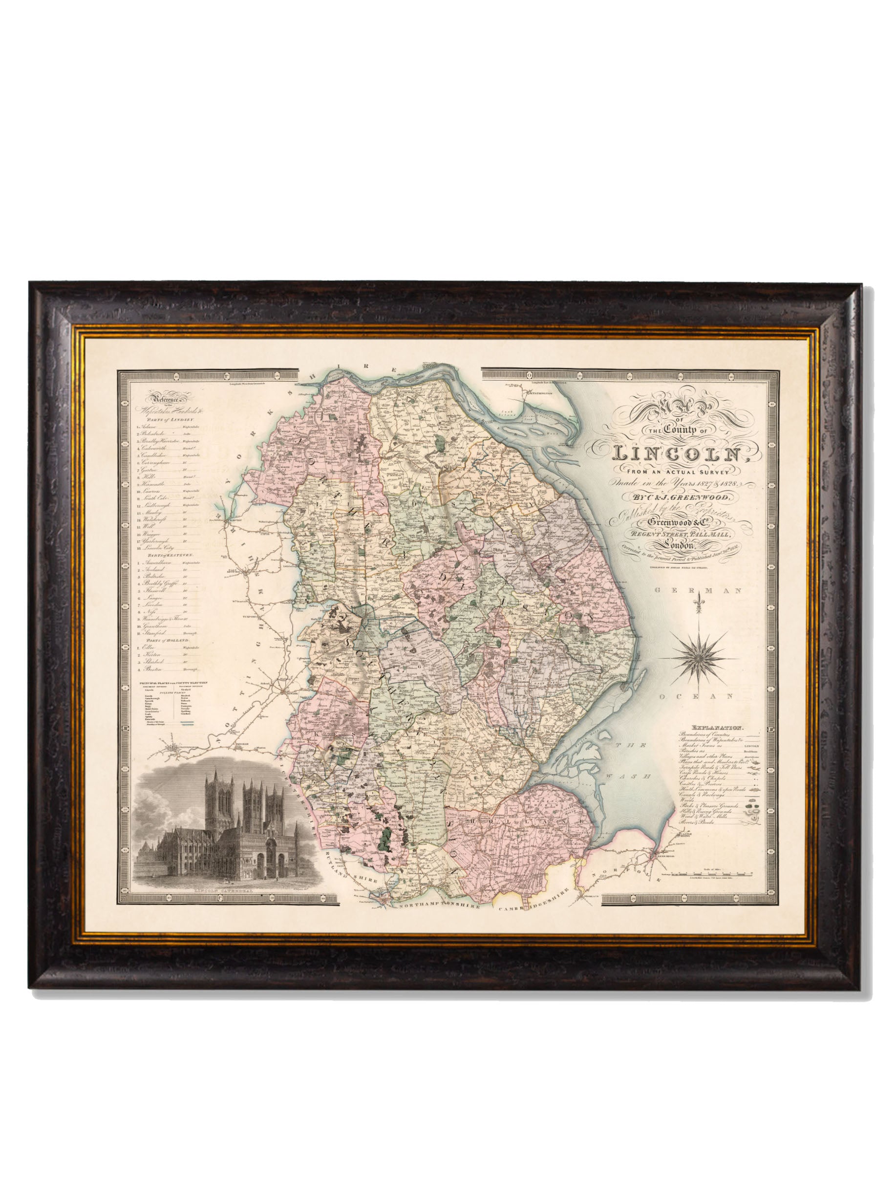
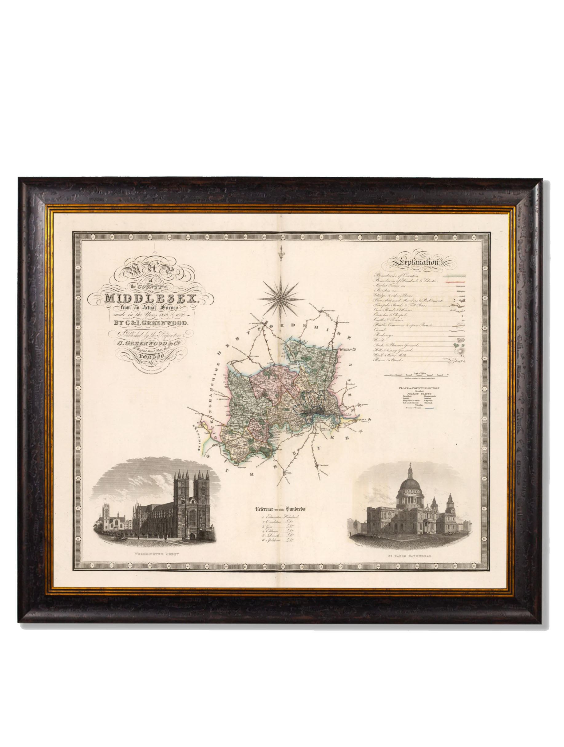
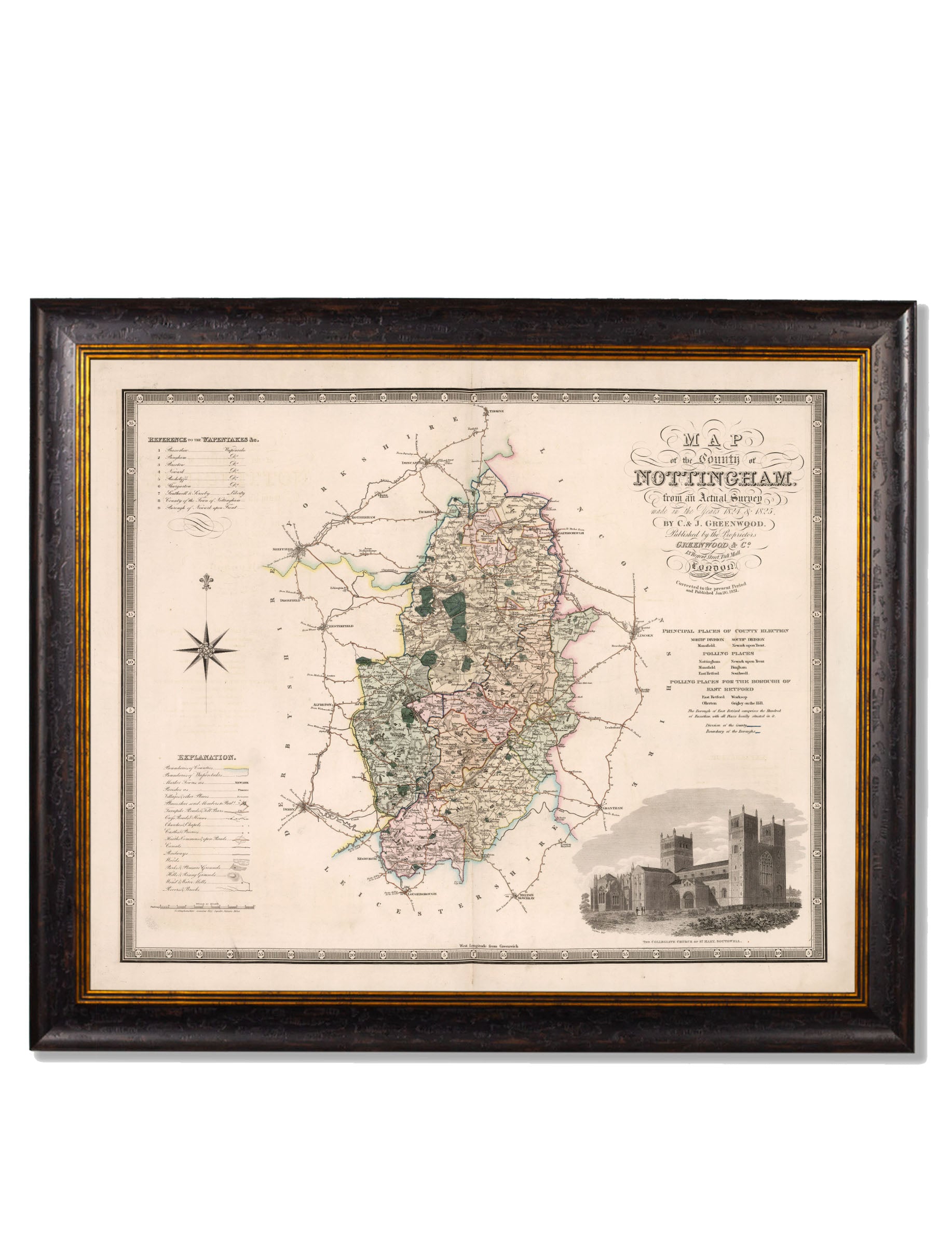
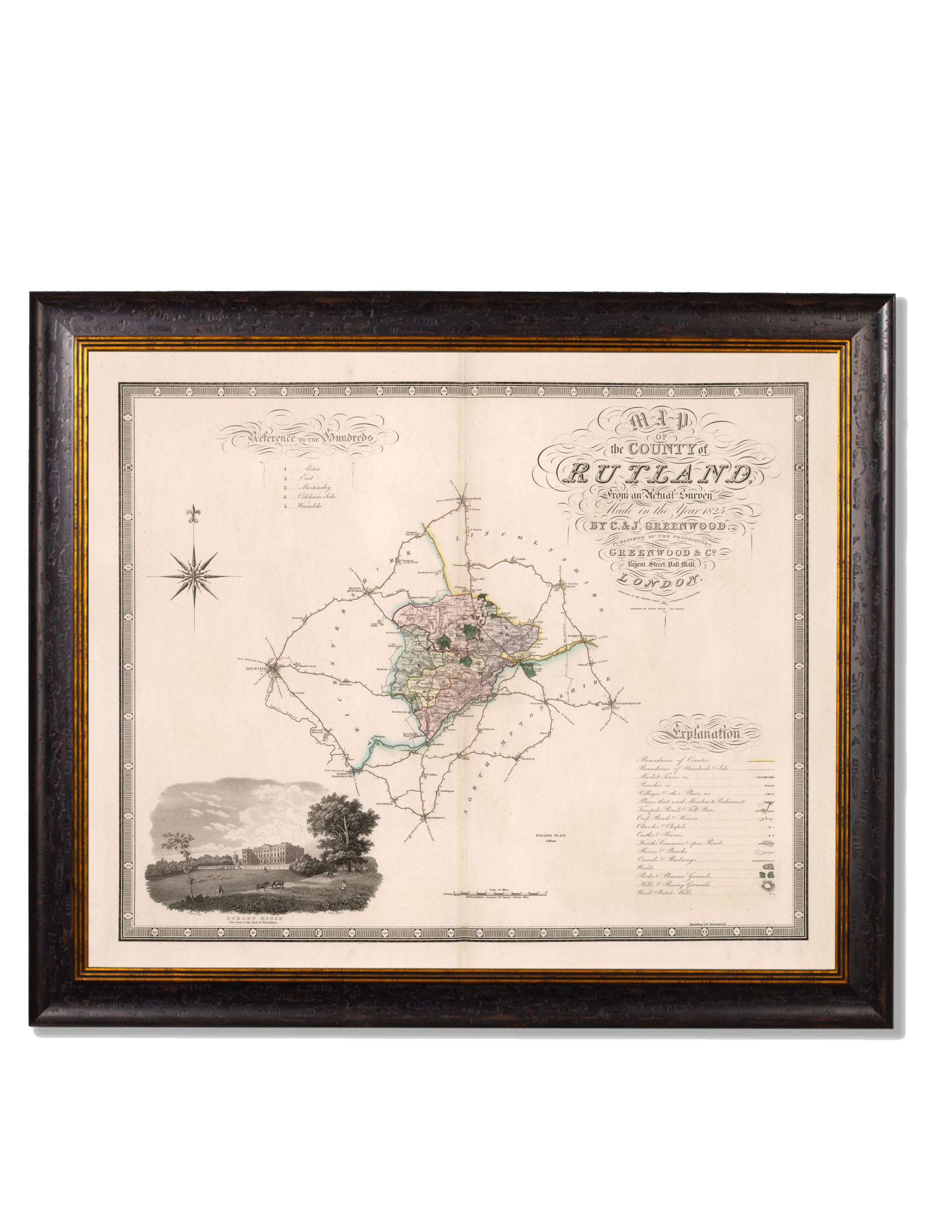
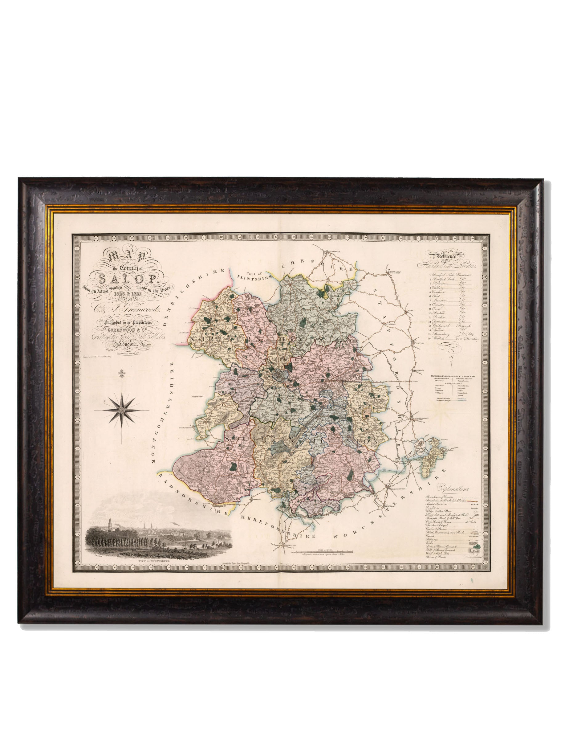
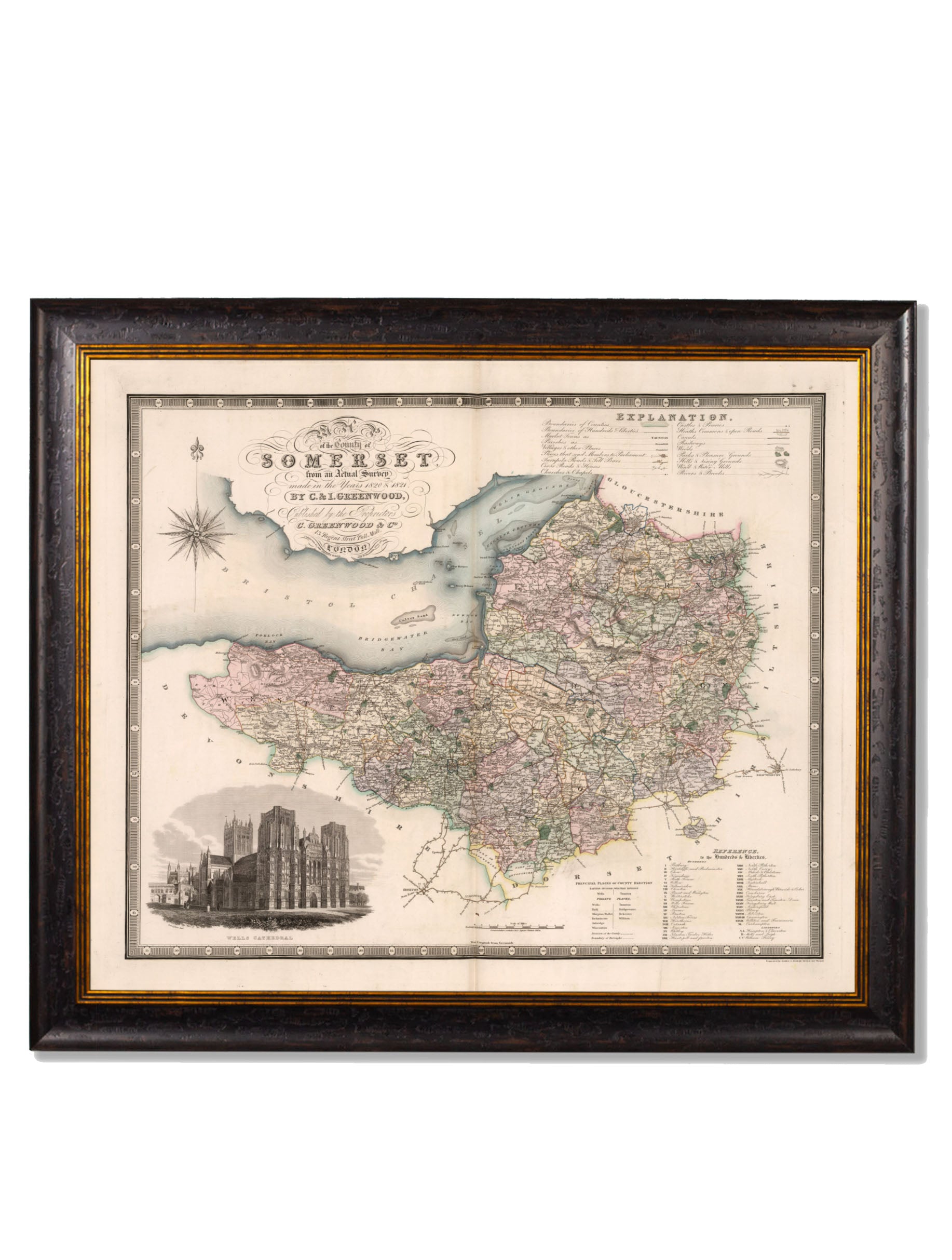
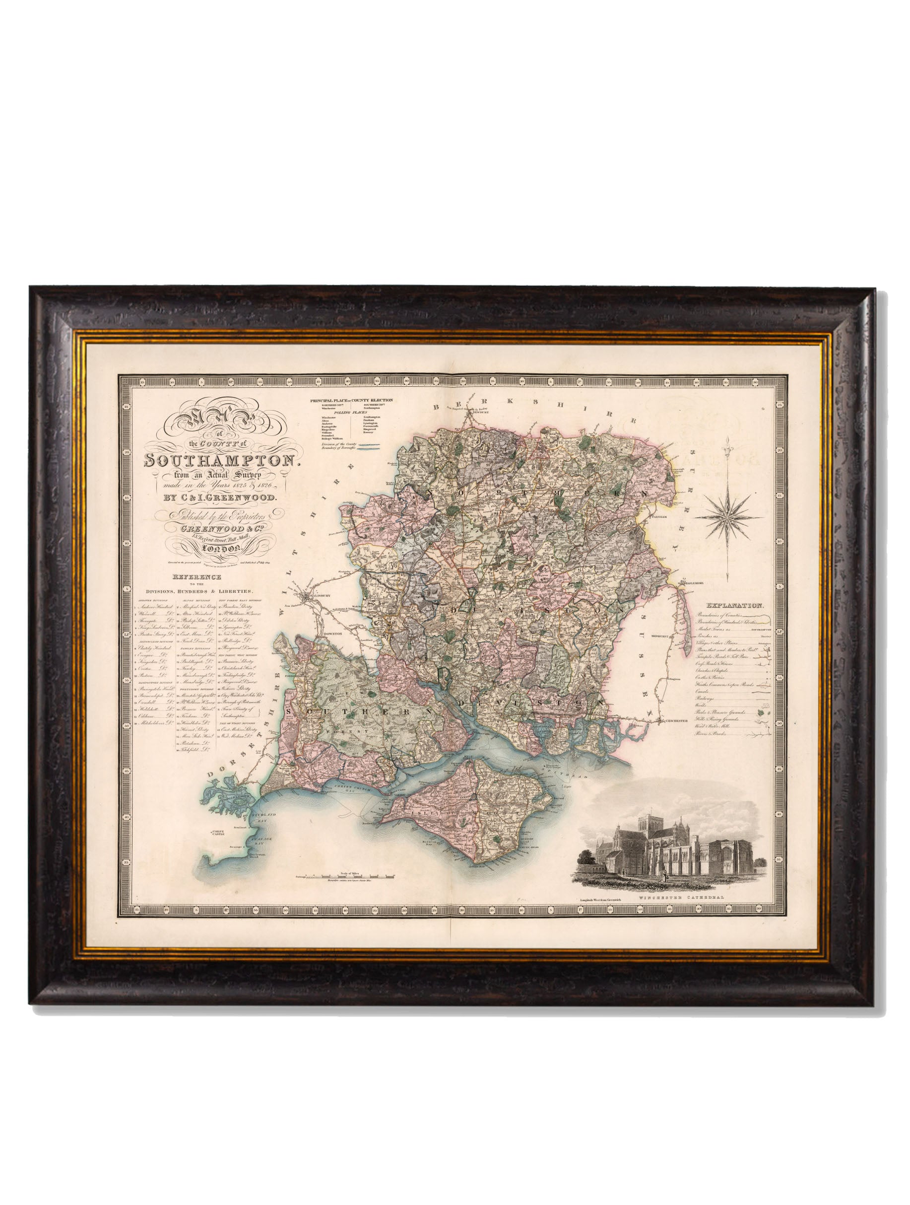
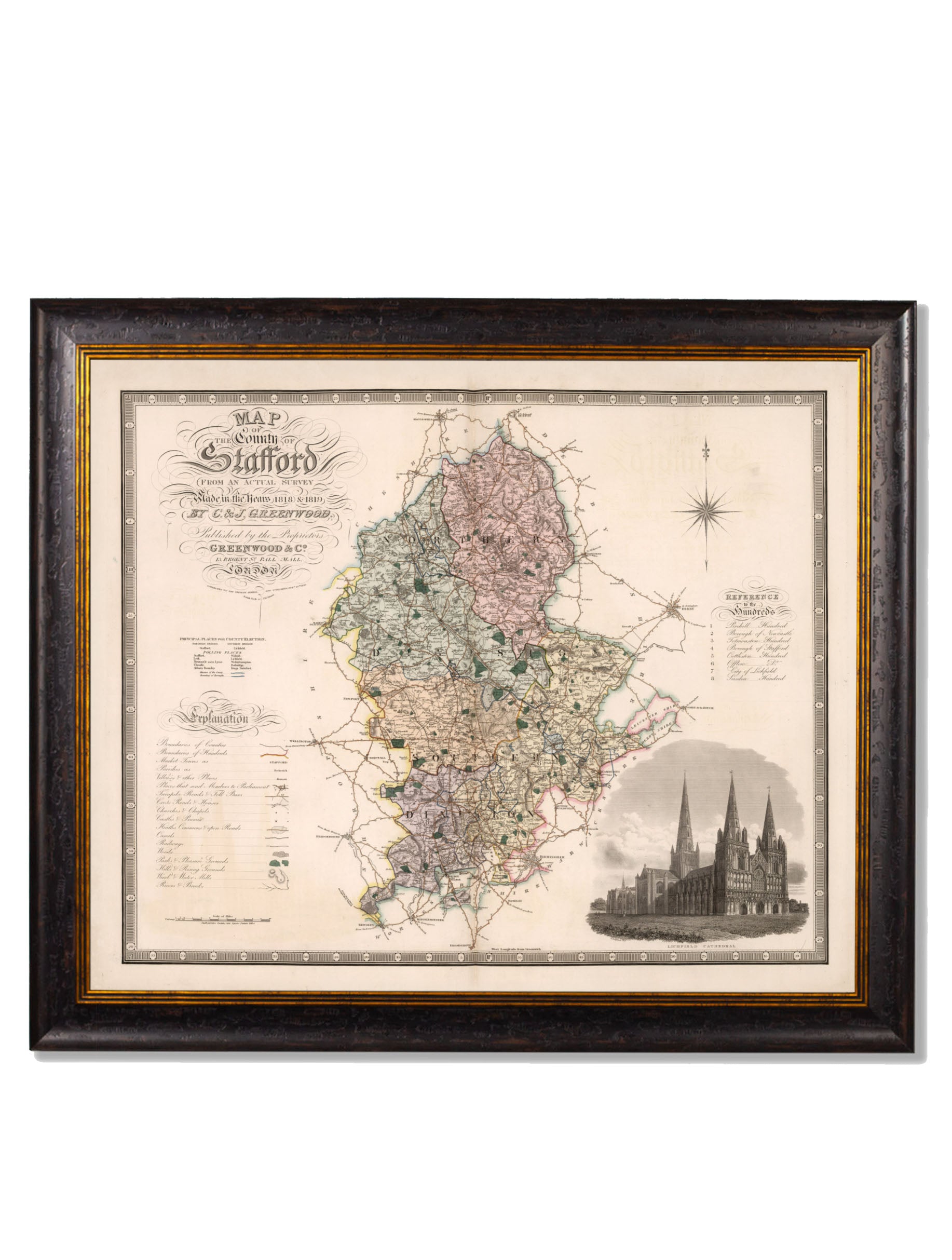


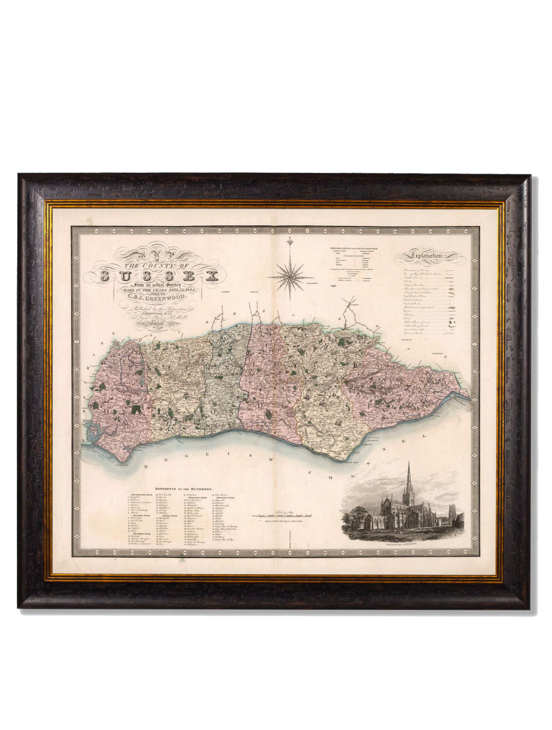
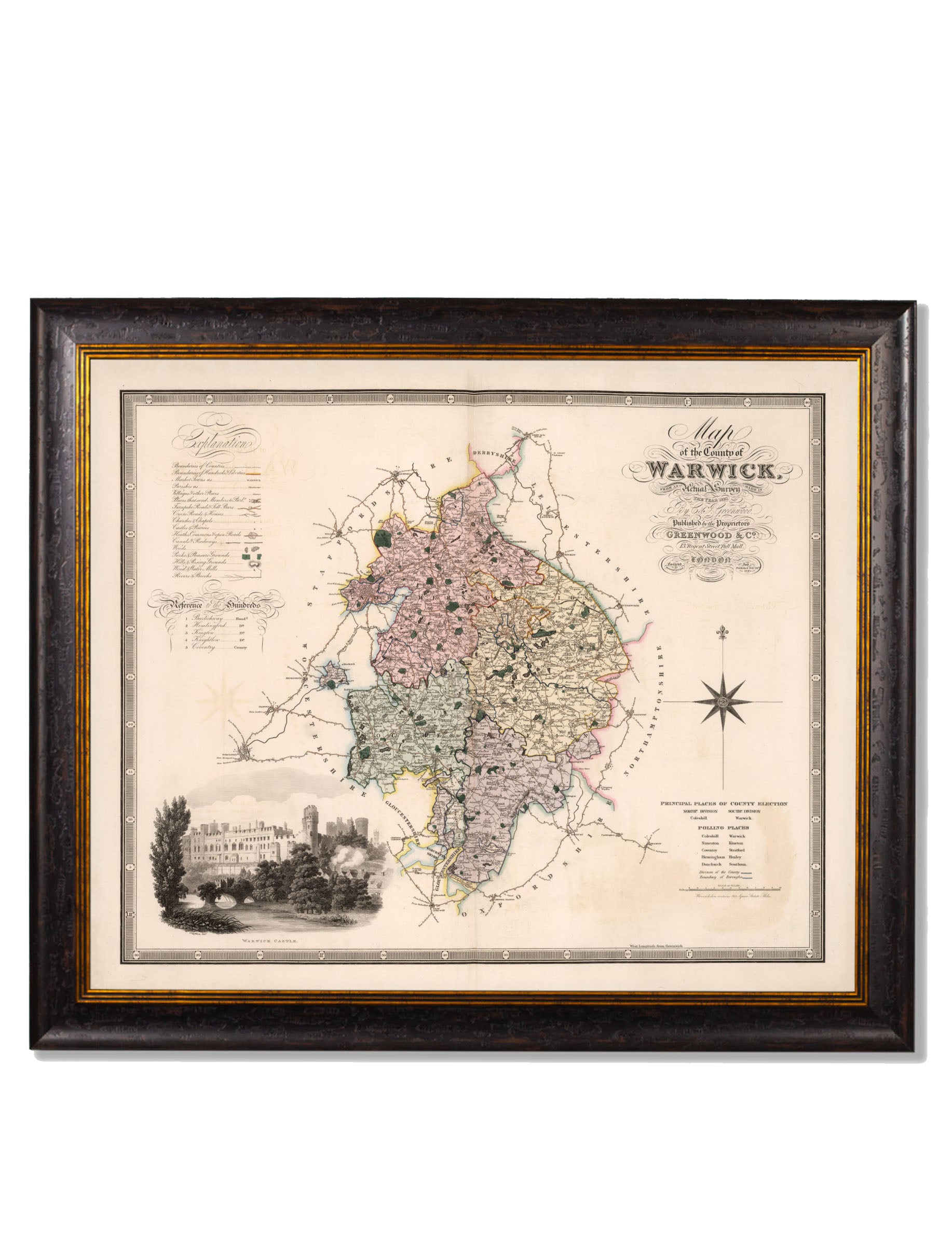
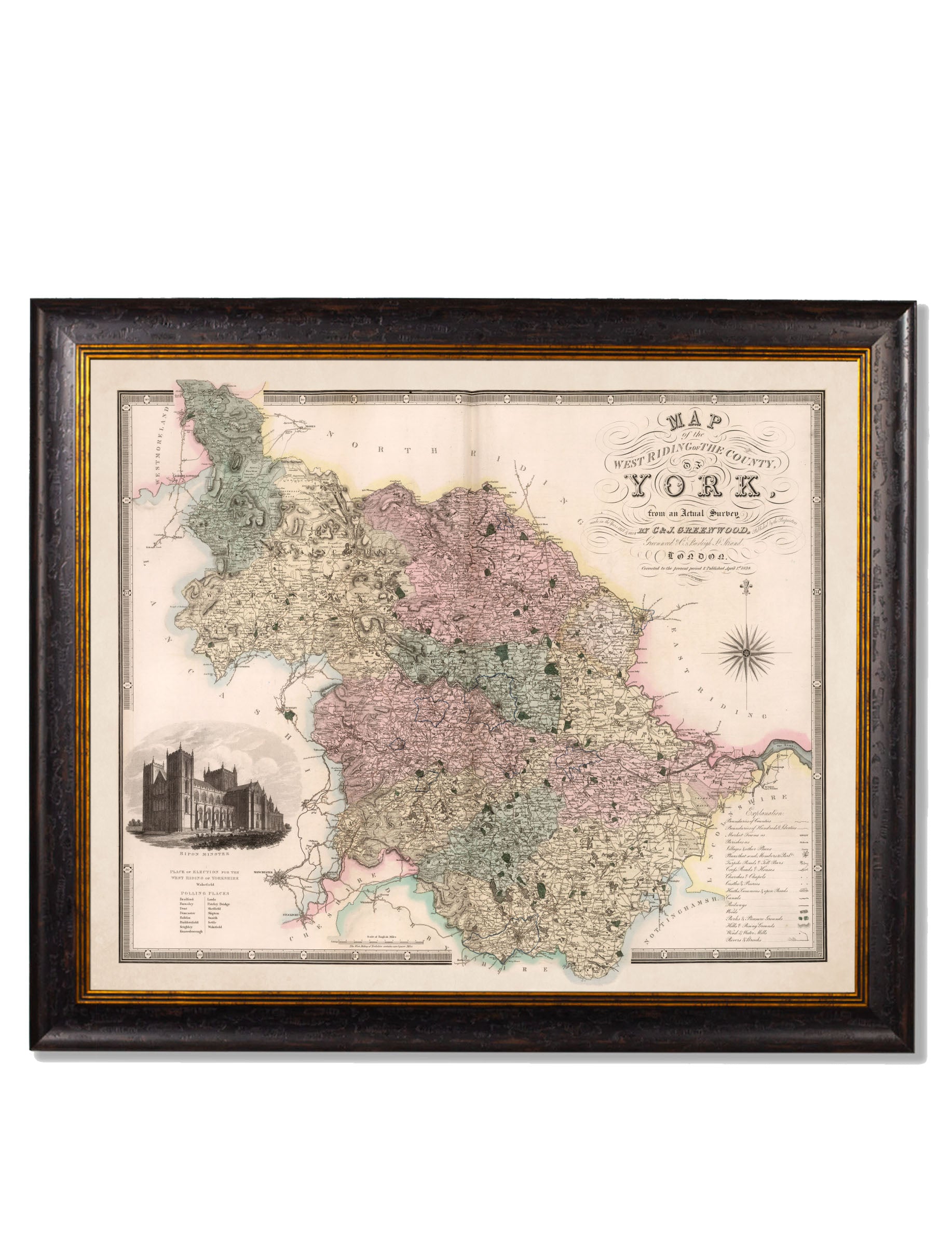
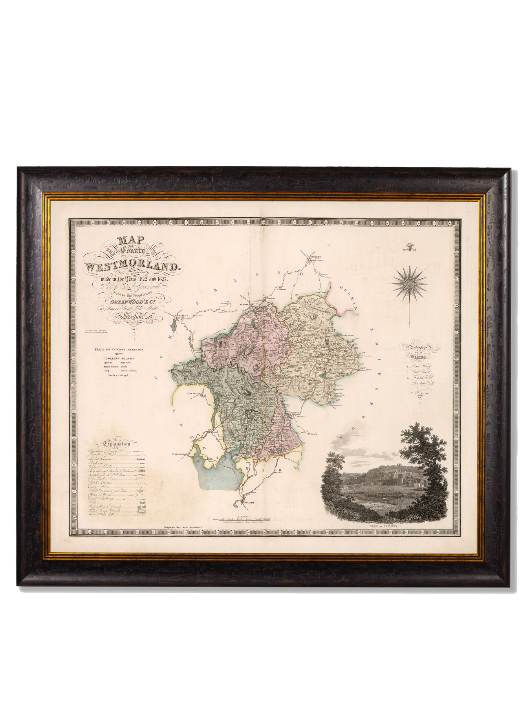
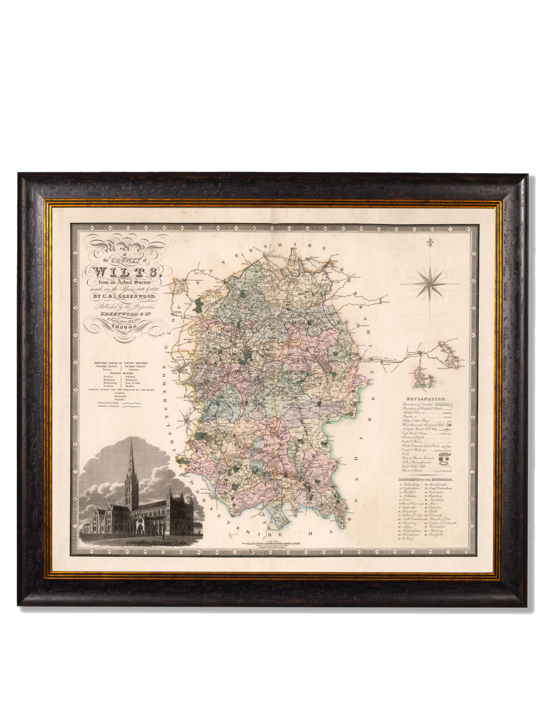
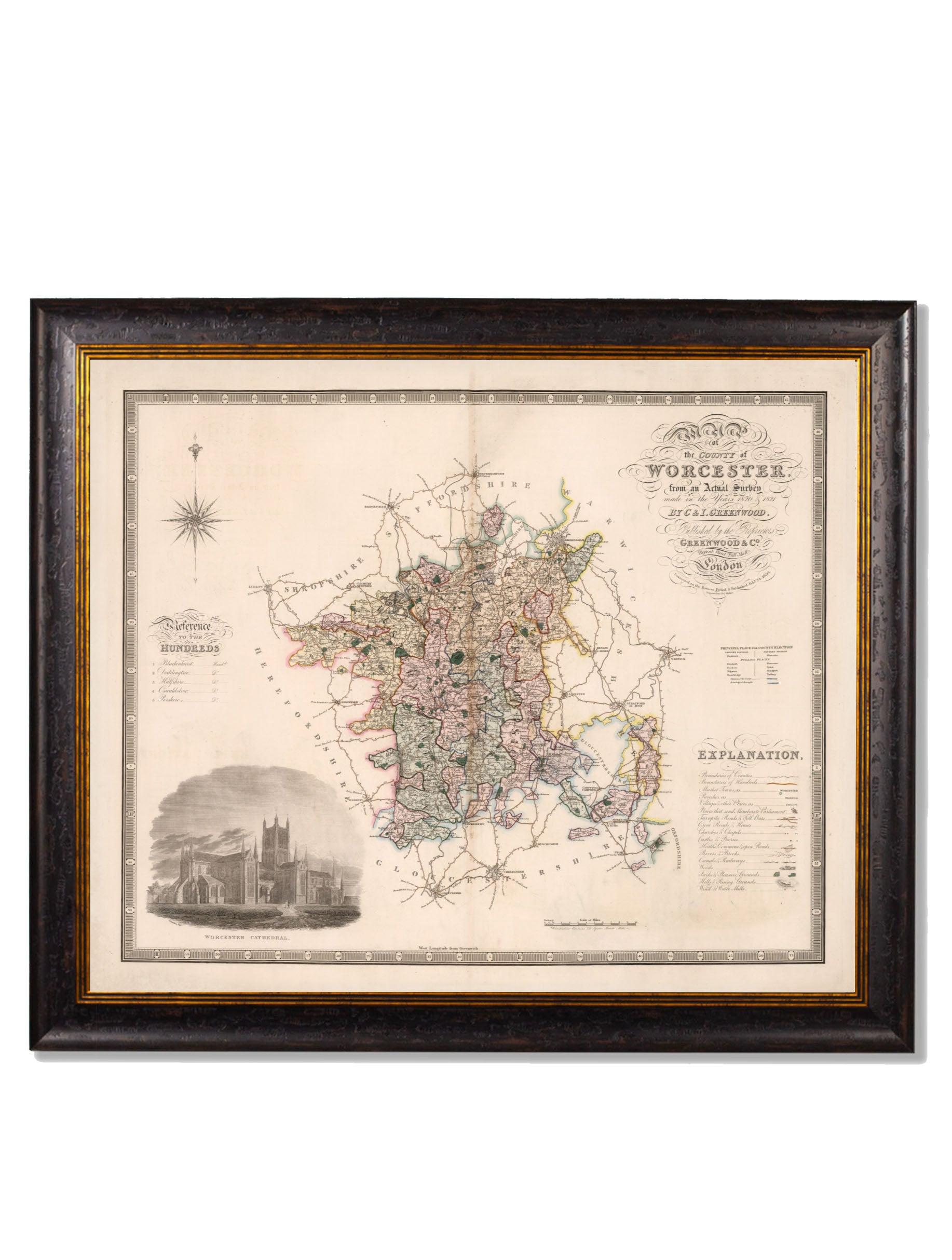
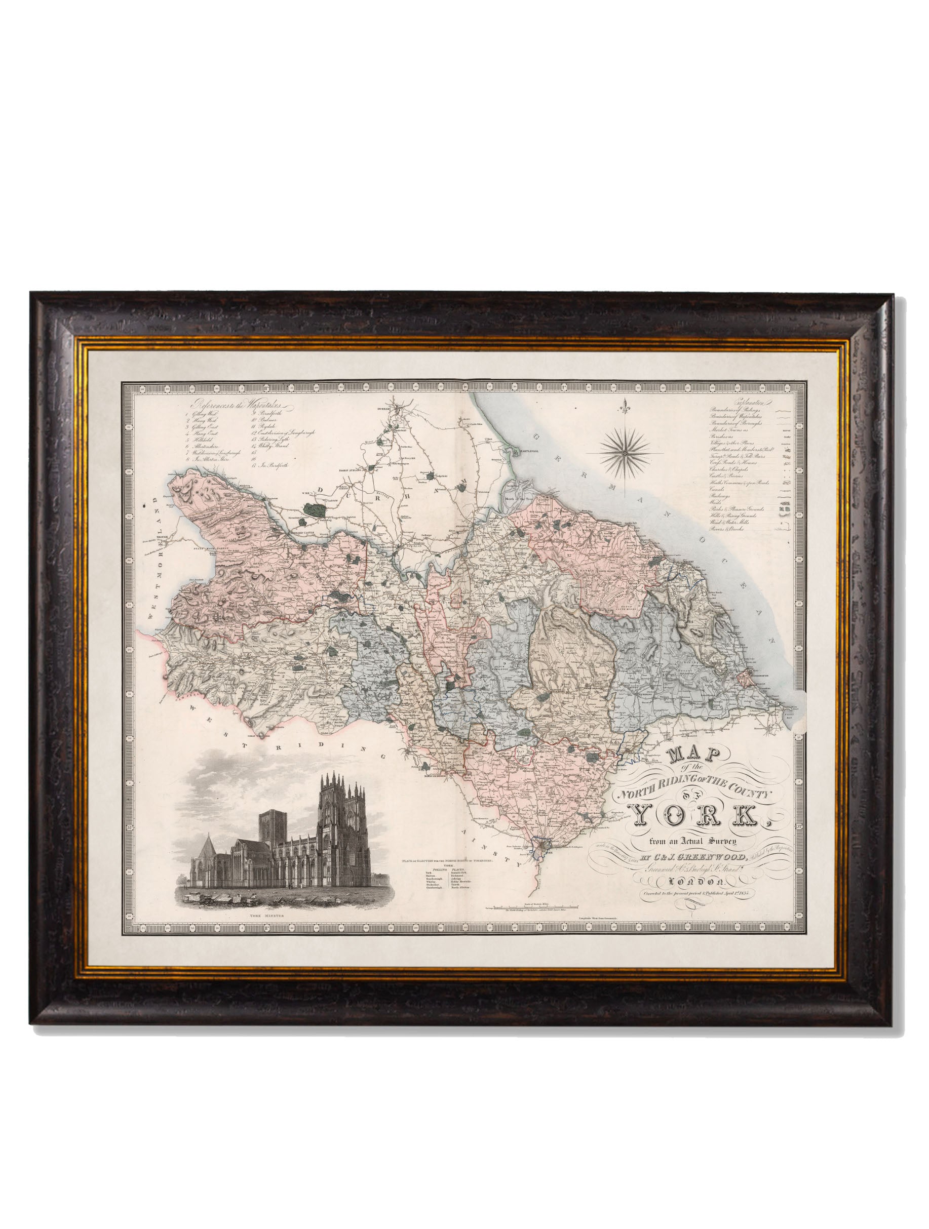

c.1830 County Maps of England
SKU: TA11576
100 in stock
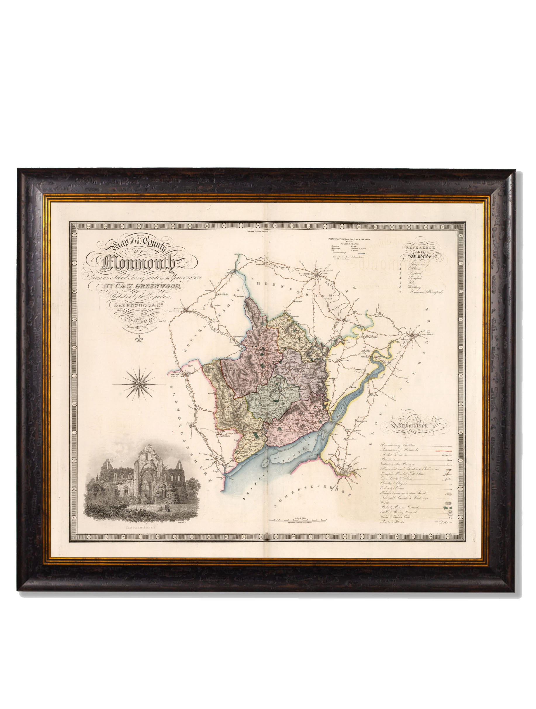
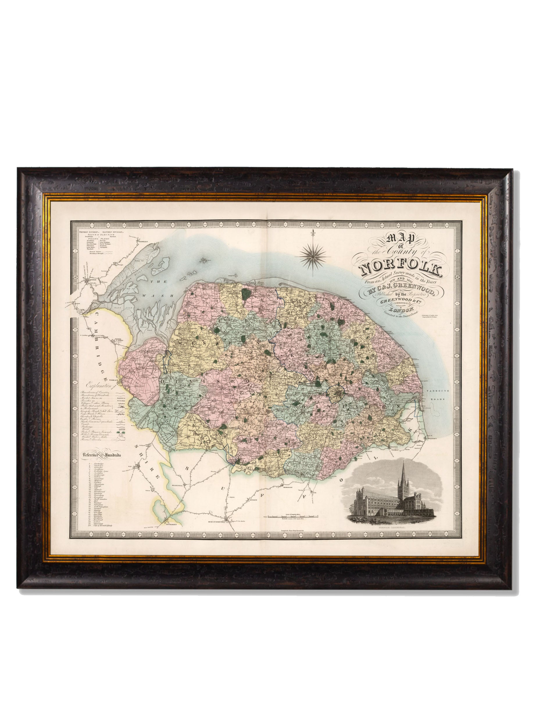
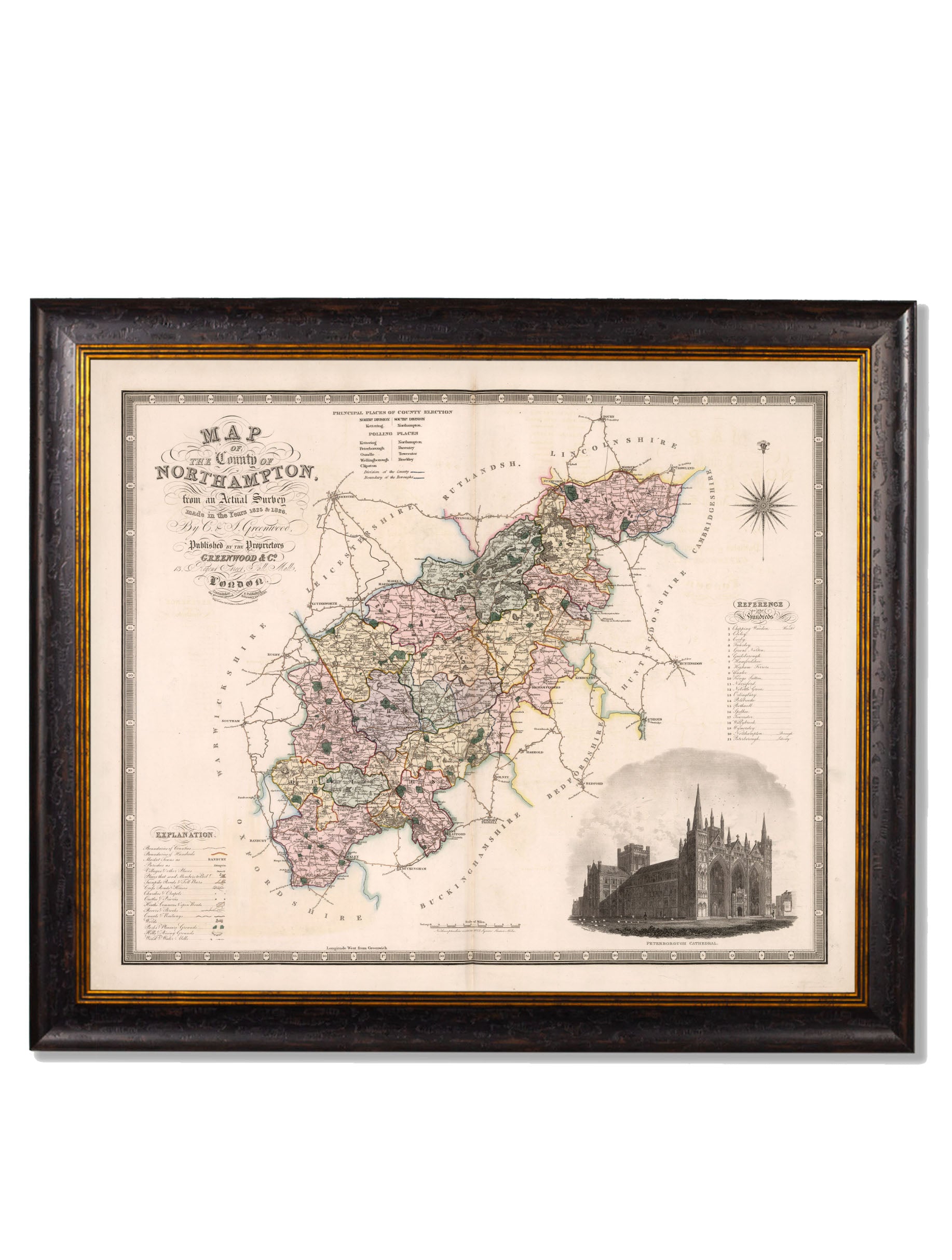
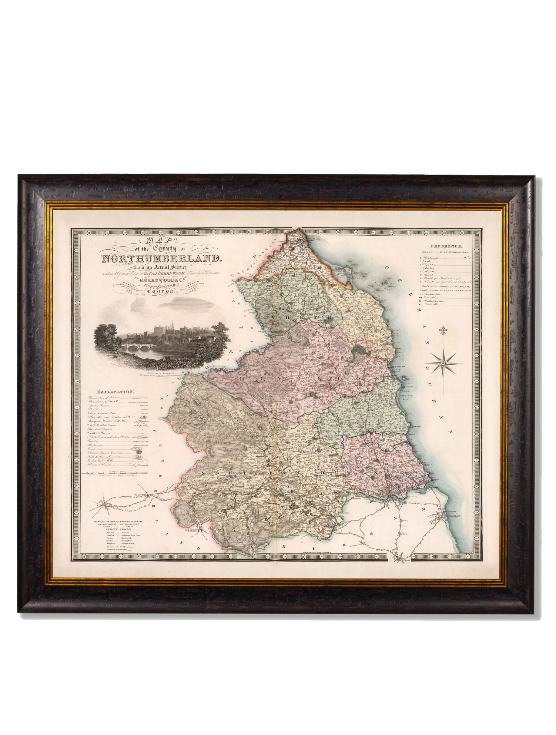
Perfect for bringing a little local history to your interior design scheme, these beautifully restored English county maps date from the first half of the 19th century. Each with insets showing illustrations of famous landmarks in the county, these maps have been digitally restored here in our Lancashire studio to bring them back to life.
Every element of these beautiful maps is hand cut, printed and assembled in Britain to create pictures of distinction with minimal carbon footprint. Printed with archival grade methods for the finest quality and durability, they each come ready to hang in an elegant frame made from sustainable wood. Please choose your county from the dropdown menu.