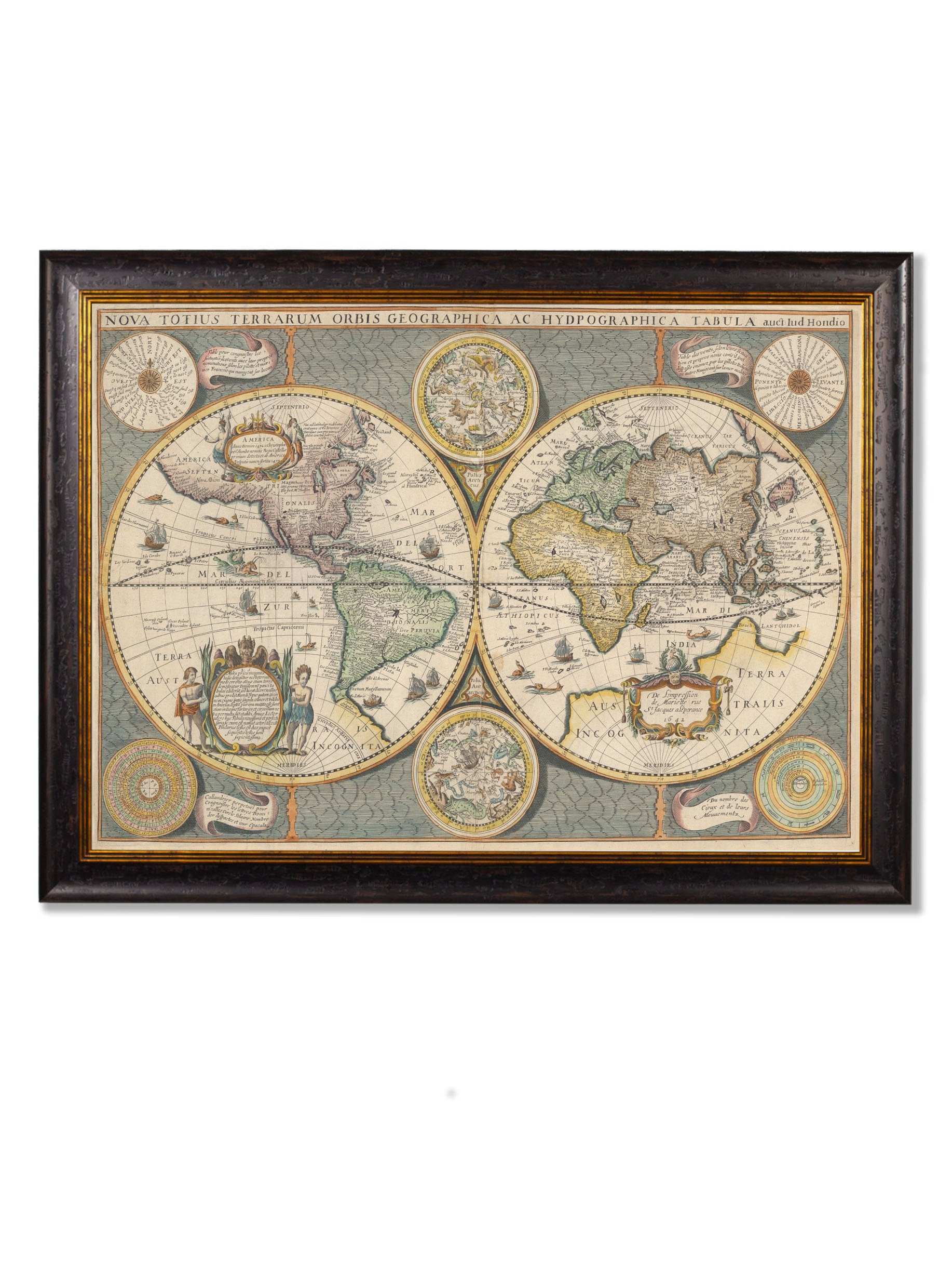

c.1642 Map of the World
88 in stock
Conjuring up the golden age of exploration, this exquisite 1642 double hemisphere map of the world includes pictorial relief illustrations and detailed notations from Marco Polo, most notably the place name ‘Terra Australis Incognita’.
Originally hand-coloured to define the continents, it’s embellished with allegorical spandrel vignettes representing celestial hemispheres, North and South Poles, sailing ships and sea monsters. Full of fascinating detail, it shows the world as it was understood in the 17th century, complete with inaccuracies such as North America extending to an oddly shaped Japan.
We’ve digitally remastered this incredible map to restore it to its former glory here in our Lancashire studio, printing it using archival methods for the highest quality and durability to ensure it will last another 400 years. Like all our prints, it’s artfully framed with sustainable wood and each and every element is hand cut, printed and assembled in Britain to create pictures of distinction with minimal carbon footprint.